Marine Management Organisation
Management
Organisation
Featured
News story
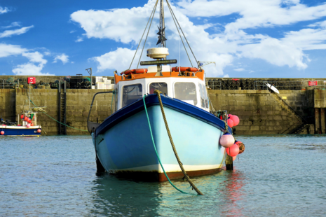
UK’s growing bluefin tuna fishery opens for 2026
The bluefin tuna (BFT) fishing season opens next week in parts of the UK, giving authorised commercial and permitted recreational fishers the opportunity to fish for BFT.

News story
Latest Fisheries and Seafood Scheme funding round reaches three-month milestone
Fishers, seafood businesses and coastal communities across England are reminded and encouraged to apply for grant funding via the Fisheries and Seafood Scheme (FaSS).

News story
Landings Enriched Approach for Positional FISHeries data (LEAPFISH): 2024 publication pre-announcement
Marine Management Organisation (MMO), on behalf of the UK Fishing Authorities, will publish landings-linked spatial fishing activity data for 2024.

News story
Act now: MMO releases further guidance on I-VMS
Eligible fishermen are urged to take immediate action as the Marine Management Organisation moves into the next phase of its I-VMS roll-out
News story
Seasonal closure for crawfish announced
The Marine Management Organisation (MMO) has announced its decision on the next seasonal closure for crawfish in English waters of ICES area 7.

News story
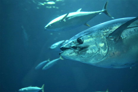
2026 Bluefin tuna commercial fishery
The Marine Management Organisation (MMO) has informed applicants of the outcome of the ballot for commercial bluefin tuna authorisations for the 2026 fishery.
Latest from Marine Management Organisation
What we do
The Marine Management Organisation (MMO) was created in 2009 by the Marine and Coastal Access Act.
MMO is an executive non-departmental public body, sponsored by the Department for Environment, Food & Rural Affairs.
Follow us
Documents
Transparency and freedom of information releases
Our management


Contact MMO
Head office address
Tyneside House
Skinnerburn Rd
Newcastle upon Tyne
Tyne & Wear
NE4 7AR
United Kingdom
MMO helpline
0300 123 1032
The Helpline is open 9am - 4:30pm (Monday - Thursday) and 9am - 4pm (Friday). For queries out of hours please contact us at the above email address and we will respond the next working day.
Make a Freedom of Information (FOI) request
- Read about the Freedom of Information (FOI) Act and how to make a request.
- Check our previous releases to see if we’ve already answered your question.
- Make a new request by contacting us using the details below.
Access to Information
Tyneside House
Skinnerburn Rd
Newcastle upon Tyne
Tyne and Wear
NE4 7AR
United Kingdom
Telephone
0300 123 1032
Use the following guidance to request information under the Environmental Information Regulations (EIR) 2004, the Freedom of Information Act (FOIA) 2000 or the Data Protection Act (DAP) 1998.
Corporate information
Jobs and contracts
Our Personal information charter explains how we treat your personal information. Find out About our services.