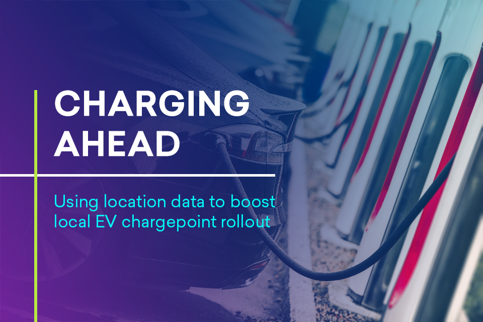
Charging Ahead: Using location data to boost local EV chargepoint rollout
Report from the Geospatial Commission seeks to support local authority decisions about electric vehicle (EV) chargepoint rollout.
Documents
Details
The transition to electric vehicles (EVs) will be enabled by a dependable, well-located public charging network that local authorities are ideally placed to help deliver. Location data can give local authorities evidence to rollout a public charging network that gives current and prospective EV owners the confidence to make their journeys, whether in a densely populated city or the countryside.
By 2030, the sale of new petrol and diesel cars will be phased out and by 2035 all new cars and vans will be zero emission at the tailpipe. The location of where chargepoints are installed is as important as the number installed. Geospatial applications have the potential to become a strategic enabler for better decisions about local charging infrastructure.
This report seeks to empower local authorities to make better decisions about chargepoint rollout by identifying the geospatial applications currently available. It identifies five opportunities to make better use of existing location data, as well as new sources of information to:
- Understand the location and availability of existing chargepoints by making chargepoint operator data standardised and consistent
- Understand consumer charging behaviour and travel patterns by using population movement data
- Identify the location of EVs by using commercially-held data about leased vehicles
- Identify existing electricity network capacity through better use of distribution network operator data
- Identify areas without off-street parking by using proxy data
This report follows Getting to the Point which identified how the better use of location data can help overcome key challenges to siting chargepoints as part of a coherent overall approach to chargepoint infrastructure planning.