Information for boaters - River Nene
Information about the River Nene, including navigation notices, bridge heights, lock dimensions, overhead power lines and facilities.
River conditions
You can find current river conditions on Anglian Waterways: river conditions, closures and restrictions.
You can also:
- find out more about river advice for boaters
- register for the service
Some locks on the River Nene are ‘reversed’ during floods and high flows. This closes the affected locks to navigation. The Environment Agency strongly recommends that you don’t attempt to navigate during these periods.
When Strong Stream Advice is in force:
- signs along the river are displayed
- red LED ‘X’ lights activated at reversed locks, which, when lit mean to stay well clear and off the river
- some marinas and boat clubs also display red flags
About the river
The River Nene flows through Northamptonshire, Cambridgeshire, Lincolnshire and borders Norfolk. It also links the Grand Union Canal to the River Great Ouse, via the Middle Level. Originally a commercial navigation, the Nene is now used almost entirely for recreation.
There are 145 kilometres of navigable waterway, with 38 locks between Northampton and Peterborough. Each lock is approximately 26m long and 4.6m wide.
The Environment Agency navigation starts at the junction with the Northampton Arm of the Grand Union Canal near Cotton End Lock. It extends 91 miles to the sea, ending at Bevis Hall just upstream of Wisbech.
Read the recreational byelaws for Anglian waterways.
You need to register your boat with the Environment Agency if you want to take your boat on this stretch of the River Nene.
If you are visiting the River Nene from the Grand Union Canal you can buy your visitor registration and navigation key from the Environment Agency marina at Northampton.
Navigation notices
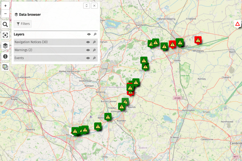
You can see the latest navigation notices on the River Nene Mapping tool.
Facilities
Environment Agency sanitary facilities (water, pump out, chemical toilet disposal) are available at Northampton Marina and Wellingborough Embankment. The pump outs at both these locations are token operated. Tokens can be purchased from:
- the Environment Agency - telephone 03708 506 506
- at Northampton marina - telephone 0786 758 0129
Find out about call charges.
There are also water points at:
- Thrapston Nine Arches mooring
- Wadenhoe
- Upper Barnwell lock
- Yarwell lock
Water is free at all Environment Agency sites.
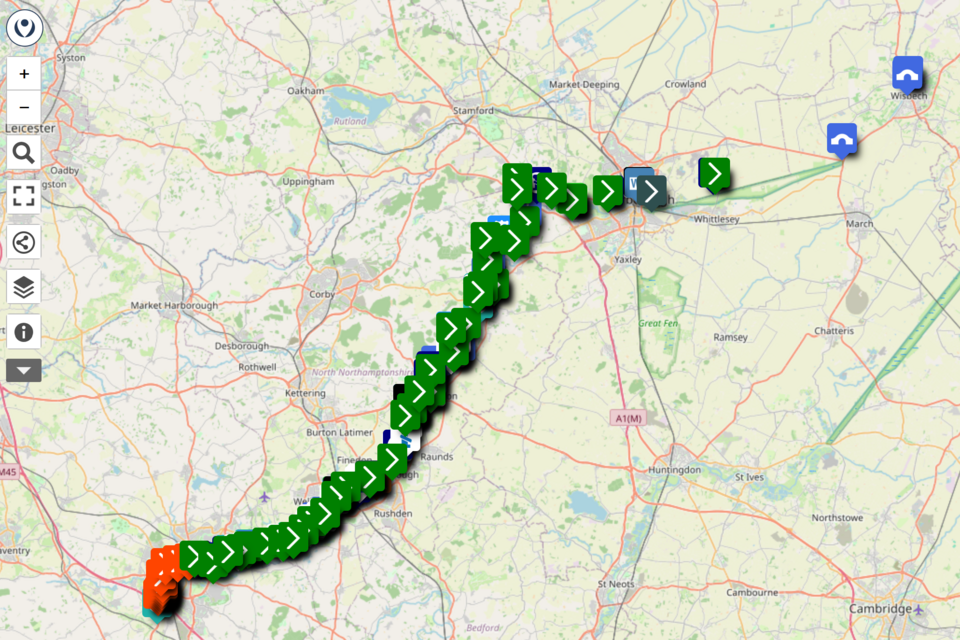
You can find out more about the facilities on the River Nene using our mapping tool.
Locks
There are 38 locks between Northampton and Peterborough. Typical lock dimensions are 26 metres long and 4.6 wide. Most locks have pointing doors at the upstream end and vertical guillotine gates at the lower end.
You’ll need an Environment Agency navigation key to operate the guillotine gates and a windlass to fit 2.6 centimetres square to operate the paddles.
From Northampton Marina, you can buy:
- navigation keys
- visitor registrations
- pumpout tokens
- electricity cards for use in Northampton Marina only
- maps
You can phone Northampton Marina on 07867 580 129.
Moorings and Northampton Marina
You can find out more about moorings on our Northampton Marina pages.
Tidal passage
The river is tidal for 45 kilometres downstream of the Dog-in-a-Doublet lock.
Lock keeping hours at Dog-in-a-Doublet Lock (River Nene)
Dog-in-a-Doublet Lock requires at least 48 hours’ notice to arrange staffing from the Environment Agency. Bookings are dependent on tidal conditions and can only be accommodated during suitable daylight locking windows.
To request a booking, call 07920 087 741.
If you are unable to contact a lock directly, call the Environment Agency Customer Contact Centre on 03708 506 506 during normal office hours. They will forward your enquiry to the Lincolnshire and Northamptonshire Anglian Waterways Operations Team.
Useful information
Note that some of the information in these guides may be out of date. You can contact WaterwaysAnglian@environment-agency.gov.uk with any questions.
Organising an event
If you want to organise an event on the River Nene, read the .
You can apply for an event using the Anglian Waterways event form.
Speed limit
The navigation has a speed limit of 11.2 kmph (7mph).
Request a speed exemption
To request a speed exemption, read the .
You can apply for a speed exemption using the Anglian Waterways speed exemption form.
River Nene bridge heights
| Location | Headway (metres) | Headway (feet) |
|---|---|---|
| Billing Bridge | 2.4 | 7.87 |
| Whiston Farm Bridge | 2.8 | 9.18 |
| Doddington Road Bridge | 2.6 | 8.53 |
| Wollaston Footbridge | 2.6 | 8.53 |
| Mills Road Bridge | 2.6 | 8.53 |
| Ditchford Bridge | 2.7 | 8.86 |
| Higham Ferrers Farm Bridge | 2.9 | 9.51 |
| Irthlingborough Bridge | 2.6 | 8.53 |
| Ringstead Bridge | 2.75 | 9.02 |
| Woodford Old Rail Bridge | 2.9 | 9.51 |
| Denford Farm Bridge | 2.6 | 8.53 |
| Pipes Viaduct | 3.0 | 9.84 |
| Islip Road Bridge | 2.7 | 8.86 |
| Islip Footbridge | 2.2 | 7.2 |
| Thrapston Footbridge | 2.5 | 8.2 |
| Titchmarsh Farm Bridge | 3.0 | 9.84 |
| Thorpe Bridge | 2.6 | 8.53 |
| Achurch Footbridge | 2.6 | 8.53 |
| Ashton Footbridge | 2.5 | 8.53 |
| Cotterstock Bridge | 2.7 | 8.86 |
| Fotheringhay Bridge | 2.1 | 6.89 |
| Elton Footbridge | 2.8 | 9.19 |
| Wilgar Bridge | 2.6 | 8.53 |
| Nene Valley Rail Bridge | 3.3 | 10.83 |
| Bluebell Footbridge | 2.8 | 9.19 |