Weekend flood risk on 19 and 20 July
The public are urged to check local weather forecasts as thunderstorms are expected in England, bringing an increased risk of flooding.
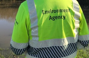
Thunderstorms producing torrential rain are expected to move across England, starting in south east England during Saturday with possible further thundery showers in the east of England on Sunday morning. There is a risk of localised surface water flooding as drainage systems may not be able cope with the intense rainfall. Craig Woolhouse, Environment Agency director of flood incident management, said:
Intense heavy rainfall this weekend brings a surface water flood risk for England on Saturday. Flooding can happen very quickly and the public are urged to check local weather forecasts and the Environment Agency website for information on a regular basis.
We are monitoring the situation closely and supporting local authorities, who will respond to any reports of surface water flooding.
Surface water flooding can happen very quickly depending on where thunderstorms occur, the amount and intensity of the rainfall and the local drainage network. It is possible that roads may quickly become impassable and people are urged not to drive through flood water.
There is also the possibility of flash flooding from rivers in urban areas and smaller rivers. Environment Agency teams are out working to minimise river flood risk, clearing debris from streams and unblocking culverts.
People can sign up to receive free flood warnings for rivers, check their flood risk and keep up to date with the latest situation, including a 3-day flood risk forecast on the GOV.UK website or via #floodaware on Twitter and Facebook.