Highlight on the Foreign, Commonwealth and Development Office
How the Foreign, Commonwealth and Development Office is helping to put everyone on the map

Written by Ian Coady, Geospatial Adviser for the Foreign, Commonwealth and Development Office and Deputy Head of the Government Geography Profession.
On the evening of 21 March 2021, I sat down with my daughter to complete our census return and as we worked our way through the questionnaire I tried explaining to her how the results of the census might help improve the services she receives throughout her life. She of course didn’t care – why would she, she is 13 years old and improved service provision is the last thing on her mind, but I felt I should at least make an effort to explain to her the hidden role that data plays in all our lives.
Prior to moving to the Foreign, Commonwealth and Development Office (FCDO) a couple of years ago I spent over a decade with the Office for National Statistics working on census and the integration of statistics and geospatial data. I therefore hoped I could explain to my uninterested daughter that good data provides good analysis and there is no better data available than that provided through the census.
There are places in the world however where the complex and fragile nature of the country means it isn’t possible to collect data through traditional census enumeration. Somalia has not conducted a population census since 1985 and Afghanistan’s first and only census took place in 1979 and didn’t cover the entire country. This means that for countries where collecting data is difficult, it can be extremely challenging for governments to make good decisions based on reliable data.
As an attempt to improve the quality and accessibility of data in low- and middle-income countries, FCDO and the Bill and Melinda Gates Foundation established the GRID3 (or ‘Geo-Referenced Infrastructure and Demographic Data for Development’ to give it it’s full title) programme in March 2018. This is a partnership between the WorldPop Project at the University of Southampton, the Flowminder Foundation, Columbia University’s Centre for International Earth Science Information Network (CIESIN), and the United Nations Population Fund (UNFPA).
They work with partner governments in Africa on extracting settlement and infrastructure information from high-resolution satellite imagery and with the National Statistical Institutes of those countries to produce modelled population estimates. Where a census is out of date or not possible these outputs are used to support analysis and decision-making.
Producing settlement maps for census enumeration in Democratic Republic of Congo
The programme is now working effectively in a number of countries on the development of geospatial and demographic data. This data has been integrated into a number of different use cases in the health, education, finance, and disaster risk reduction sectors. In Sierra Leone, GRID3 data has underpinned analysis into the distribution of school locations by comparing them to the gridded population estimates and identifying the number and percentage of children that don’t have access to education. These figures can then feed into education policy and intervention.
In Nigeria, GRID3 partnered with Data Science Nigeria to map out women and men who lacked access to banking services. As well combining aggregated bank details with GRID3 population estimates to identify the penetration of banking services in a geographic area, they were also able to disaggregate the results of age and sex and provide inclusive data on access to financial services at lower geographic level then had ever been previously possible.
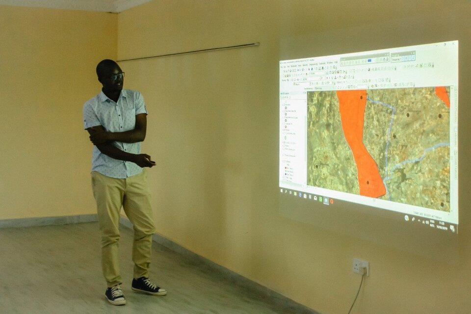
Demonstrating analysis based on GRID3 data in Zambia
The value of the GRID3 programme has been particularly evident over the last year however as countries have needed high quality demographic and geographic data to try to manage the transmission of coronavirus (COVID-19). The requirement to support COVID-19 response has also introduced the use of mobile data into the GRID3 work programme as a method of tracking population movement and measuring the effectiveness of restrictions. GRID3 data has been used by both Nigeria’s Presidential Task Force on COVID-19, and the Government of Sierra Leone as part of developing their COVID-19 response measures.
Looking ahead, countries will need to move from the implementation of policy to contain the transmission of COVID-19, to the roll out of national vaccine programmes under the global COVAX initiative. This too will need to ensure that data is high-quality, timely and accessible to ensure that vaccination programmes are effective in distributing vaccines to the right people at the right time and saving lives.
For this reason, GRID3 has already invested in the development of settlement extents for the whole of Sub-Saharan Africa and will be investing a further £2.4 million in supporting the COVAX vaccination roll out. This should ensure that the programme continues to drive the availability of high quality geographic and demographic data, and to help improve decision-making in countries where it has historically been difficult.
Read more blogs on the Analysis in Government Month hub page.