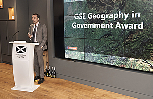
Geography in Government Awards 2018
A summary of the winners from the 2018 Awards held at the Royal Geographical Society.
Geography in Government Awards
Advancing Geospatial Data Science
[WINNER] [OVERALL WINNER] Geography Spatial Analysts Team at the Office for National Statistics for work undertaken for the United Nations World Data Forum on Sustainable Development Goals (SDGs) to provide a global metric for indicator 9.1.1, which measures the proportion of the rural population living within 2km of an all-season road (an important measure of connectivity and accessibility).

Ben Payne at Natural England
Michael Hodge at the ONS Data Science Campus working with the Welsh Government to develop a tool to estimate travel times, based on private and public transport, to effectively appraise public service accessibility which is critical to formulating and targeting policy and for delivering public services.
Mobileye Project Team at the Ordnance Survey for investigating whether data streams from an in-vehicle Advanced Driver Assistance Scheme could be re-used to reliably and repeatedly survey roadside features in near real-time without the need for any human intervention or processing.
Operational Delivery
[WINNER] Ben Payne at Natural England for a new evidence-based approach to conservation and licensing for the great crested newt that combines geospatial analysis with ecological knowledge. By reducing the need for survey, trapping and translocation of this protected species it cuts out costs, delays and developer/investor uncertainty in the planning process, and maximises the proportion of investment secured by licencing which is invested in habitat.
Charley Glynn, Tim Martin, Oliver Snowden and Andrew Radburn at the Ordnance Survey
The Boundary Review Team at Reigate and Banstead Borough Council for supporting an electoral review by building on a statistical forecast of the 2023 electorate. The team developed a tool which used Ordnance Survey maps and address data melded with electorate forecasts at property-level. The user is able to merge, edit and rename boundaries and get a real-time view of the impact upon the future voting population.
Sarah Taylor and Michael Knight at Natural England for developing the National Biodiversity Climate Change Vulnerability Model and a range of spatial data products associated with it to provide maps of the areas where species and habitats are most likely to be vulnerable to climate change to support delivery of the Nature Recovery Network.
Excellence in Geo-Visualisation and Cartography
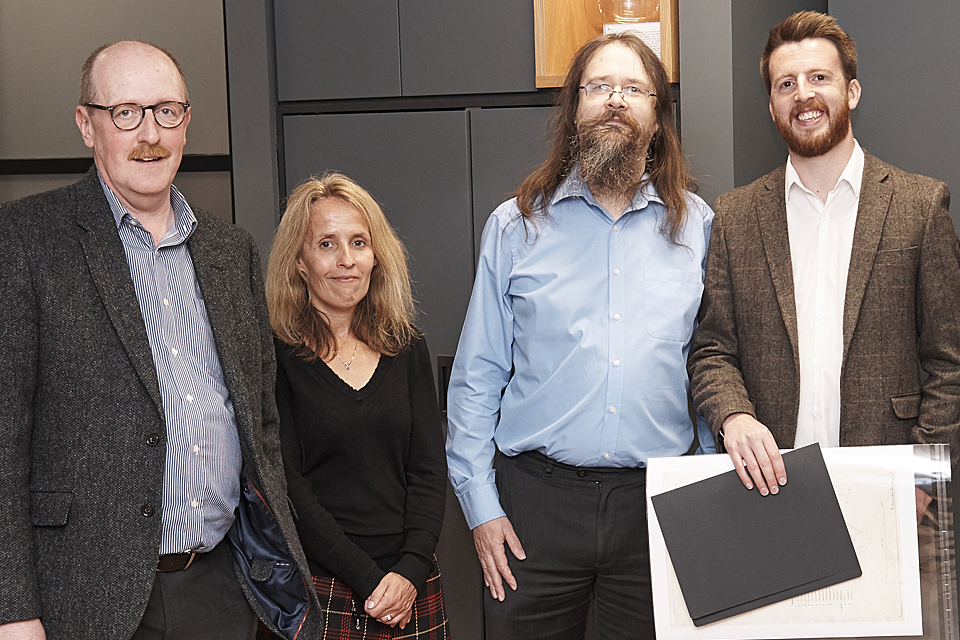
[WINNER] Charley Glynn, Tim Martin, Oliver Snowden and Andrew Radburn at the Ordnance Survey for developing OS Open Zoomstack, the latest addition to the OS OpenData portfolio. It makes OS open data more accessible, customisable and easier to use by providing a single, customisable map of Great Britain to be used from national to local levels.

Jamie O’Donnell at the Department for Transport
The DGC Task Team 8 at the Ministry of Defence for developing a country insight product, which is a country-wide situational awareness product providing foundation geospatial information about a range of key themes to provide context and understanding to Defence users. It consists of a geodatabase of fully attributed data which can be manipulated or incorporated with other datasets to support wider analysis and assessment activities.
The DGC and No 1 AIDU Air Teams at the Ministry of Defence for producing the first two Low Flying Charts to standardise the symbology across the 1:50,000, 1:250,000 and 1:500,000 scales to improve flight safety. Pilots and navigators now see standardised symbology across this range of air charts as they zoom in and out on their cockpit tablets, making the identification of obstructions and air space clearer.
Impact on Policy
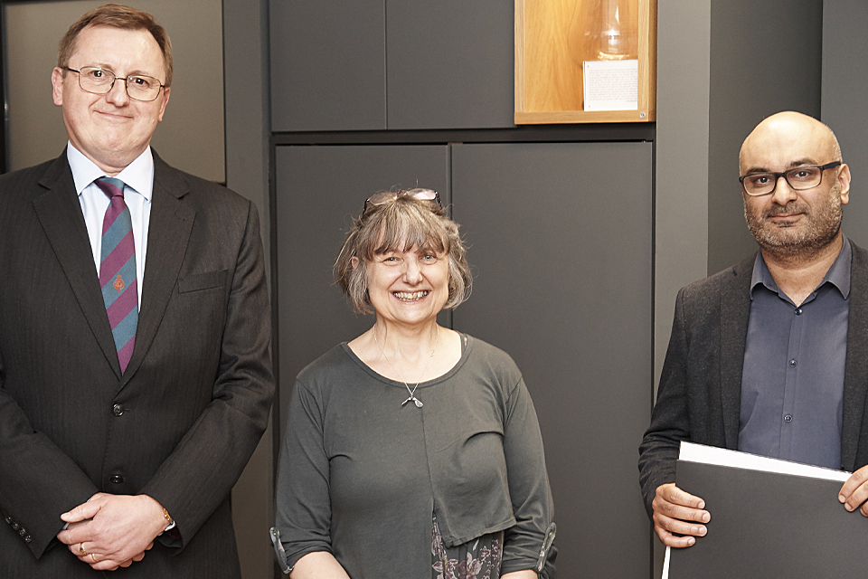
[WINNER] Jamie O’Donnell at the Department for Transport for creating a key online interactive map of a proposed Major Road Network to feed into a government consultation which received over 1,000 web views in the first week alone. Jamie then developed an internal interactive mapping tool that a range of colleagues could use and access to support decision making and assess respondents’ proposals on a segment by segment basis quickly and accurately.
The DGC Learning and Development Team at the Ministry of Defence
Nick O’Rourke and ONS Geography Leadership team at the Office for National Statistics for developing the ONS Geospatial Hub for over 4,000 ONS members of staff. The Hub is improving the quality of ONS research and outputs through the greater insight gained from analysing the role of location in people’s lives and environment and has brought producers and researchers together from across spectrum of social, health, economic and environmental statistics.
Mick Wyman at the Ministry of Defence for identifying the potential for a bespoke very small-scale 3D perspective maps to provide MoD senior officers and Ministers with enhanced situational awareness for planning and policy purposes.
Contribution to the Profession
[WINNER] The DGC Learning and Development Team at the Ministry of Defence has been instrumental in formulating and redesigning the MoD Geospatial Analyst Function Competence Framework, rebranding and enhancing it to align with GSE Geography profession. The team also designed and ran the Geospatial Managers Development Programme, a tailored course, designed to support the growth of GSE Geography within MoD by delivering development and professionalisation interventions for staff across a range of grades.
Jack Whelan and Darren Scarlett at the Ministry of Defence for dedicating considerable personal time into teaching and inspiring the next generation of geographers at Comberton Village College through the ESRI Geo Mentoring Scheme.
Neil Peters at the Ministry of Defence for developing and sustaining an international network of experts engaged in spatial socio-cultural developments, promoting the contribution of the profession, geospatial information principles and analysis techniques in order to understand and respond to complex problems.